This Map Shows the Biggest Climate Pollutants in Your Area
Have you ever wondered how much your local airport contributes to climate change compared to that power plant on the street? Or how does your city or country compare to other parts of the country or the world? Now you can see all this and more on the interactive Climate Trace .
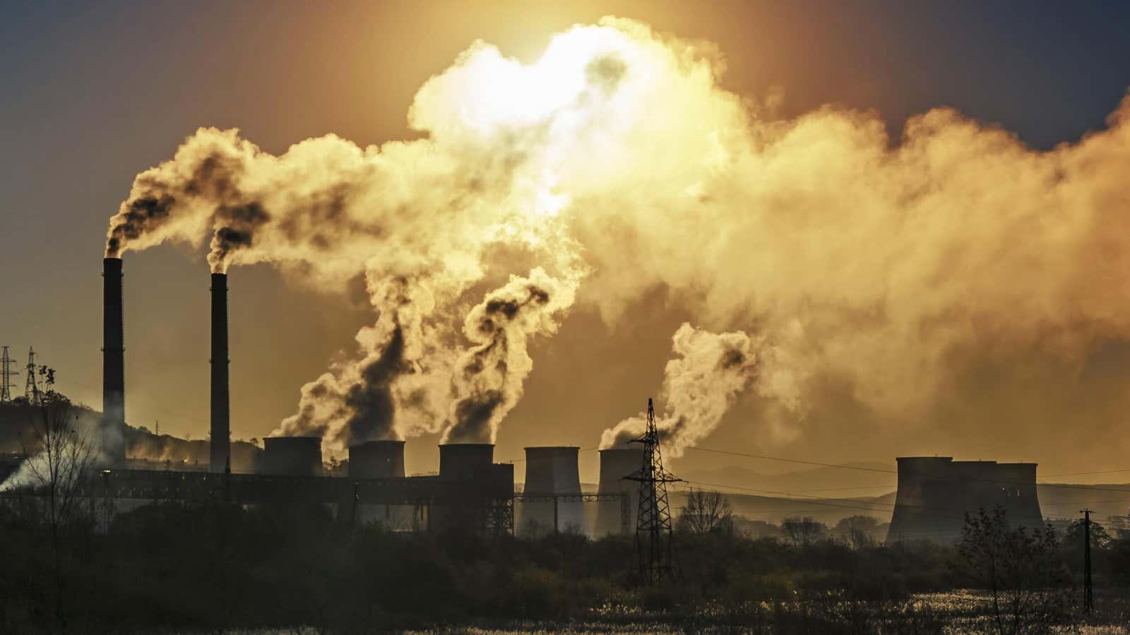
Climate Trace is a non-profit environmental technology organization that has created a map using satellite data to identify nearly 80,000 individual sources of climate pollution. A coalition that monitors greenhouse gas emissions in hopes of taking meaningful action to combat climate change. Their emission data inventory is the first to be compiled from independent observations; the organization used images from over 300 satellites, over 11,000 remote sensors, and collaborated with 100 organizations and datasets from around the worldto collect their data to track greenhouse gas emissions. Now all their data refers to 2021. Their data collection is constantly growing and being updated to improve models and maintain accuracy.
The map allows you to filter by continents and countries so that only selected regions are displayed on the map. To find the biggest air pollutant in your area, simply scroll to an area on the map and zoom in. By default, the bottom panels will always display your selections in order from the largest climate pollutant from left to right. Climate pollution is measured in metric tons (MT), the standard measure of climate pollution.
While you can’t see emissions from individuals or things like cars, you can see emissions for sectors like transportation, aviation, and buildings. You can also filter the results to show and compare different sectors, such as agriculture and power plants, and see how they compare to each other.
If you are concerned about a climate pollutant in your area, contact your local city, county, or state environmental or health agency. If they can’t help you, you can always contact the US Environmental Protection Agency . Their regional emergency response staff should be able to help you determine how any environmental or health risks are being addressed. Just call your region number based on your location and let them know about your concerns.