Track Fires in the Amazon Rainforest With This Map
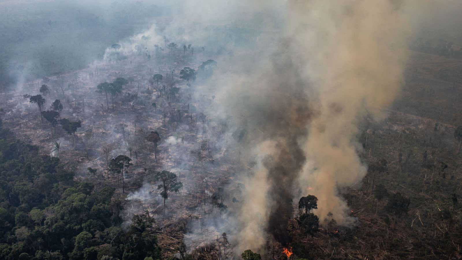
In August , about 66,000 wildfires occurred in the Amazon rainforest, most of which were caused by anthropogenic deforestation. Brazilian President Jair Bolsonaro initially declined millions of dollars in aid but recently banned bonfires to clear land, including in rainforests, for a very conservative 60 days.
If you want a better understanding of the extent of the destruction, this week Buzzfeed News has mapped all the fires that hit the Amazon in August using available NASA data. Using the map, you can drag the slider to any date to see the scale and number of fires that day.
As the Washington Post notes, it is important to note a few things that are not immediately apparent when using such satellite maps. First, despite public perception that the heart of the Amazon is on fire, many fires have occurred on the outskirts of the rainforest, not in its center. (You will notice that the fires remain mostly in the southern part of the Amazon Basin, roughly where the lower half of Peru meets the state of Maranhao in northeastern Brazil.)
In addition, these recent fires mainly occur in areas that have already been cleared in previous years; According to The Post , these lands were mostly cleared for agricultural purposes. For this reason, you cannot necessarily assume that the fire is related to recent deforestation – this process may have already occurred in the area before the fire.
As of Wednesday, the rainforest is still on fire. And in the 48 hours after Bolsonar’s ban on land destruction last week, the Independent reports that around 4,000 new wildfires have started in Brazil, with almost half of them in the Amazon. If you want to see a map of fires in real time, try the Global Forest Watch map; search for fire notifications in the last 24 hours. And if you want to help conserve the rainforest or the indigenous communities that live in its basin, check out our guide to finding and donating to trusted organizations.