How to Access the New Google Maps Street View Layer in Android
Google is gradually closing the feature gap between mobile and desktop versions of Google Maps, and a recent update has finally made it just as easy to play street view on an Android app as it is on a computer.
The mobile version of this feature now works in much the same way as its desktop version. Turn on the new Street View layer in the Android app and you’ll see paths highlighted in blue along streets, sidewalks, and other thoroughfares that indicate visible locations at street level. These lines are visible both on the top map and in street view.
This new Street View layer is only available on the Android version of Google Maps for now, but iOS users should get it shortly. To enable it:
- Open the Google Maps app on your Android device.
- Navigate to the location you want to view.
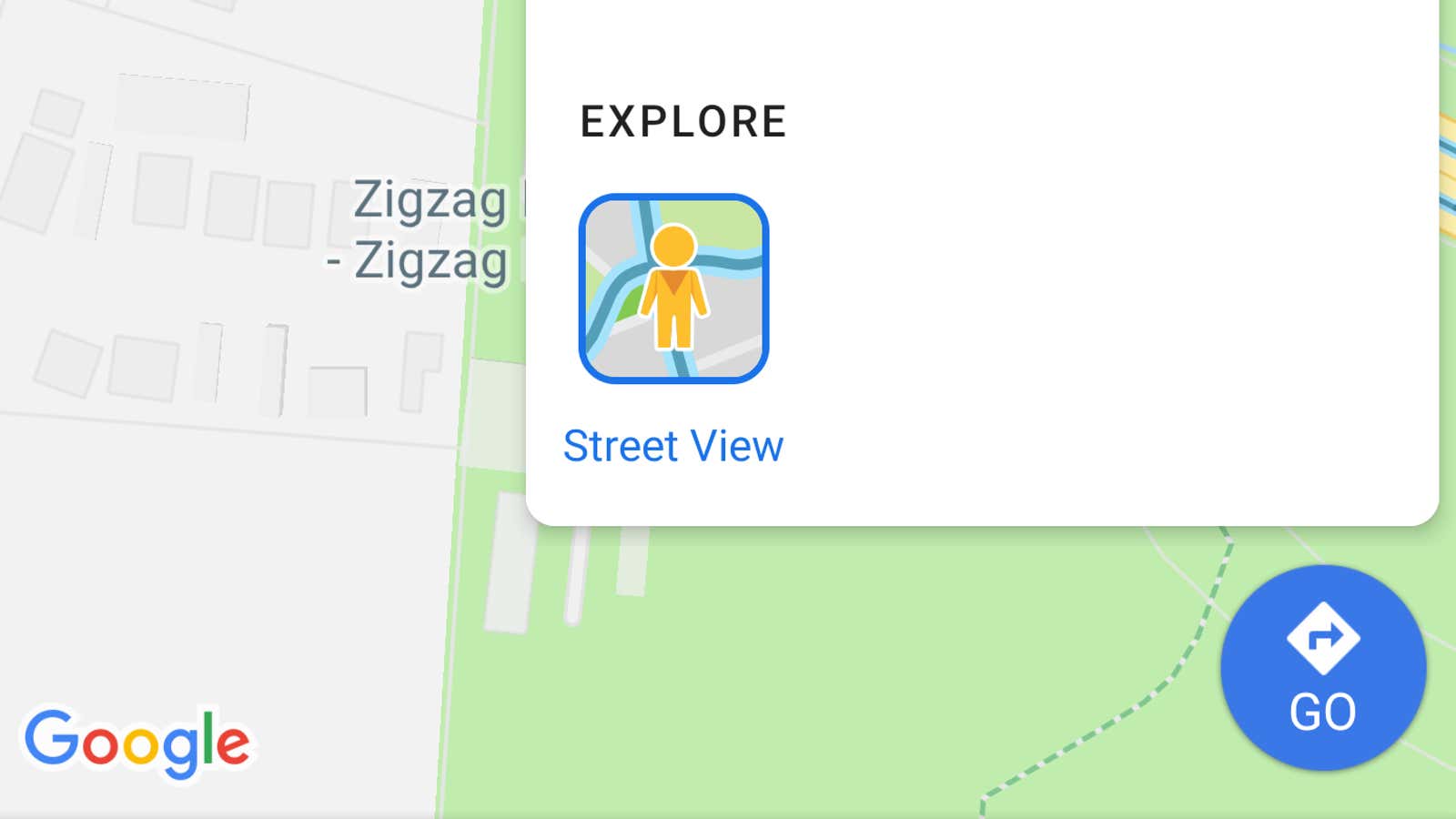
- Tap the Layer icon, then tap Street View. You may need to zoom in to view at street level.
- In street view, you can use your device’s touchscreen to rotate the camera 360 degrees and tap the blue lines to navigate to different viewpoints.
Most users should have access to this feature, but if you feel like you don’t have a street view option in the Layers menu, you may need to update the Google Maps app first. Check for pending updates by visiting the app page in the Google Play Store . And if you really, really love Street View, you can even grab the standalone app from the Google Play Store or Apple App Store .
The new Street View layer is just one of a number of new features that have been added to Google Maps over the past few months, including the ability to flag traffic incidents and speed traps .